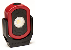
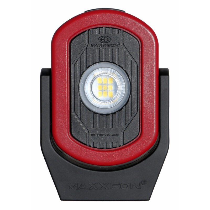
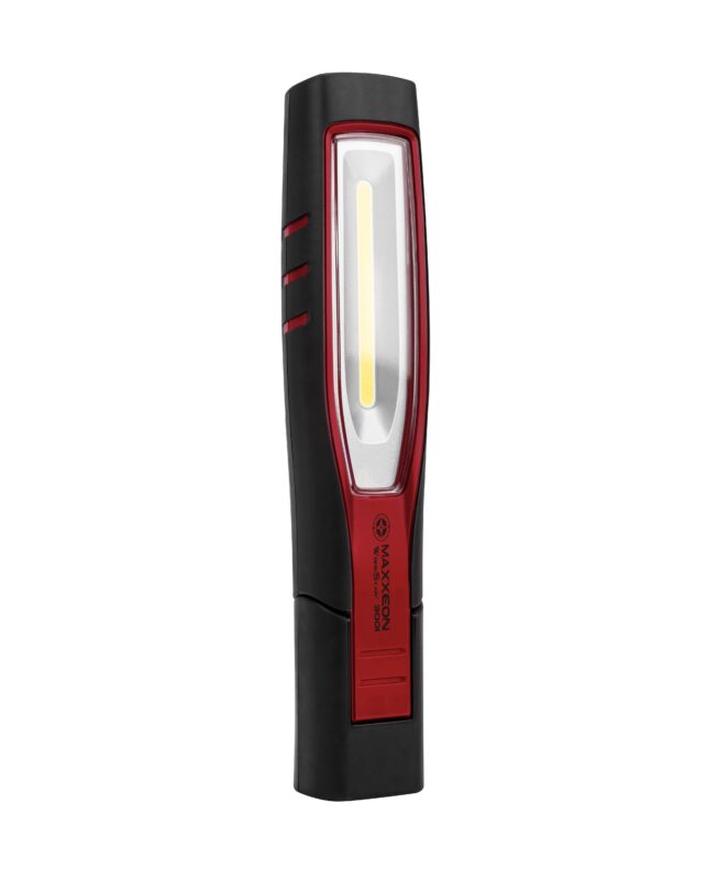
Welcome to Sons of the Beach. We are a group of men who walk on Whidbey Island and nearby places on Wednesday mornings to get some exercise, explore the area and socialize. For more info email Paul Goldfinger.
![]() |
The calendar below summarizes where the Sons of the Beach have walked, as well as where they will be walking. The format is Day-Leader-Location-Number of Walkers and links to maps, etc.Links in the calendar connect to a slide show or a map for that walk. Distance, elevation and speed graphs are built into the EveryTrail.com maps and some have photos as well. EveryTrail.com has a hidden dashboard at the bottom, where you can toggle between Slideshow and Statics Mode, change various settings and go full screen. SP= State Park. NP = National Park. Click for Other Summary maps and useful links. |
| Sons of the Beach Calendar | ||||||
|---|---|---|---|---|---|---|
| Month-Year | Week 1 Day-Leader-Location |
Week 2 Day-Leader-Location |
Week 3 Day-Leader-Location |
Week 4 Day-Leader-Location |
Week 5 Day-Leader-Location |
|
| Summer-2012 | Mt Townsend-Map | |||||
| February-2012 | 1-Richard-Sammamish River Trail, Bothell-9 Map |
1-Simon-Forest Park, Everett |
||||
| January-2012 | 4-Dennis-Discovery Park, Seattle-7 |
11-Dennis-Paradise Valley Conservation Area, Woodinville-6 Map Photo |
18-Canceled due to snow | 25-Paul-Langley-10 | ||
| December-2011 | 7-Paul-Holmes Harbor Golf Course-9 Map | 14-Richard-Big Gulch/Meadowdale Park-4 BGMap MPMap |
21-John-Centennial Trail in Snohomish-8 Map |
28-Paul-Coles Rd-9 | ||
| November-2011 | 2-Paul-Putney Woods-11 | 9-Richard-Whidbey Institute-8 Map | 16-Richard-Greenbank Farm-7 | Canceled due to wind | 30-Dennis-Japanese Gulch Trail Map-9 Map |
|
| October-2011 | 5-John-Kettles/Fort Ebey SP-7 Map | 12-Paul-Trillium Community Forest-6 Map | 19-Dennis-Green Lake-7 Map |
26-Earl-Arboritum-8 Lenny's Photos | ||
| September-2011 | 7-Jim Walker-Sauk Mt-8 Map Photos Lenny's Photos |
14-Paul-Lake Crescent-4 | 21-Grant-Hoypus Hill from Ducken-6 Map |
28-Paul-Little Cranberry Lake-7 | ||
| August-2011 | 3-Dennis-Lake Serene-4 Map Photos | 9-Roger-Mt Blanchard-4 Map Photos 10-Paul-Talapus Lake-3 |
16-Earl-Perry Creek-4 Map Photos 17-Paul-Mt Erie-6 |
24-Earl-Mt Pilchuck-4 Map Photos | 31-Richard-Ft Flagler-6 Map Photos |
|
| July-2011 | 6-Paul-Penn Cove to Oak Harbor-7 | 13-Dennis-Possession Point-6 Map | 20-Simon-Lake 22-10 Map Lenny's Photos | 27-Dennis-Goat Lake-4 Map Photos 27-Paul-Cross Island @ Coupeville-7 |
||
| June-2011 | 1-Roger-Ledgewood to Lake Hancock-9 Map | 8-Skip-Ballard-7 Map | 15-Roger-Ledgewood to Keystone Ferry-14 Map | 22-Richard-Lake Samish Park-6 Map | 29-Richard-Putney Woods | |
| May-2011 | 4-Roger-Bush Point to Lagoon Point-13 Map | 11-Paul-Langley | 18-Roger-Lagoon Point to Lake Hancock-9 Map | 25-Roger-Lagoon Point-5 Map | ||
| April-2011 | 6-Richard-Double Bluff to Mutiny Bay-8 Map | 13-Keith-Freeland-7 Map | 20-Paul-Mutiny Bay to Bush Point-9 Map | 27-Roger-Au Sable/Pacific Rim-7 Map | ||
| March-2011 | 2-Paul-Saratoga Woods-5 | 9-Paul-S. Whidbey Community Park Trail Map-7 | 16-Paul-Langley-8 | 23-Skip-Trustland Loop-15 Map | 30-Paul-Hammonds Preserve Trail Map Work Party-8 | |
| February-2011 | 2-Paul-Brighton Beach-11 Map | 9-Paul-North Bluff Rd-12 Map | 16-Paul-Putney Woods-9 Map | 23-Richard-Kettles in the snow-7 Map | ||
| January-2011 | 5-Richard-Tahoma One Drop Zen Monastery-13 Map | 12-John-South Whidbey SP-12 Map | 19-Paul-Lake Union-9 Map | 26-Richard-Kettles andFt Ebey SP-10 Map | ||
| December-2010 | 1-Paul-Langley-12 Map | 8-Grant-Trillium Woods-8 Trillium Woods Trail Map | 15-Roger-Whidbey Institute-5 Whidbey Institute Trail Map | 22-John B.-John's Secret Freeland Loop-15 Map | 29-Paul-Langley-6 | |
| November-2010 | 3-Richard-Hoypus Hill-6 | 10-Paul-Langley Loop-7 South Whidbey Intermediate School Trails | 17-Canceled due to wind | 21-Canceled due to snow | ||
| October-2010 | 6-Roger-West Beach-8 Map | 13-Paul-Naked Man Valley and Beyond-9 Map/Photos | 20-Wayne-Cross Island @ Coupeville-9Map/Photos | 27-John-NAS-12Map/Photos | ||
| September-2010 | 1-Wayne-Pt Townsend - An Officer & a Gentleman Walk-4 Map/Photos AOAG Tour | 8-Roger-Sharpe Park & Rosario Head-5 SP Map RH Map Sharpe Park Sharpe Park Map | 15-Carl-Monte Cristo-7 Map/Photos LCPhotos | 22-Paul-Dugualla SP-9 Map Dugualla SP Map | 29-Paul-Langley Rd to Bayview Rd aka 5 Road Hike-8 | |
| August-2010 | 4-Roger-Mt Blanchard-6 Map Mt Blanchard Map LCPhotos | 11-Keith-Rocky Point-4 Map | 18-Paul-Lake Dorothy-4 Map LCPhotos | 25-Keith-Mt Erie-4 Map/Photos | ||
| July-2010 | 7-Paul-North Penn Cove Rd to Scenic Heights-8 Map/Photos | 14-Paul-Lake 22-6 Slideshow Map/Photos | 21-Paul-Double Bluff: Mutiny Bay to Useless Bay-6 Map | 28-Paul-Boulder Creek-4 Map/Photos | ||
| June-2010 | 2-George-Possession Point-8 | 9-Wayne-Ebey's Landing to Libby Rd-6 Map | 16-Wayne-Goose Rock & Pass Island, Dec Pass SP-7 Map | 23-Wayne-Lake Crescent, Olympic NP-4 Map | 30-Paul-Wallace Falls SP-9 Map/Photos SP Map | |
| May-2010 | 5-Paul-Madrona Way-5 Map | 12-Lenny-Joseph Whidbey SP-9 Map | 19-Paul-Holmes Harbor Golf Course-6 Map | 26-Richard-Little Cranberry Lake-4 Map | ||
| Apr-2010 | 7-Paul-Trustland Trails-4 | 14-Paul-Hammonds Preserve work party-7 | 21-Roger-Ft Ebey SP-5 Map | 28-Paul-Putney Woods and Metcalf Trust-7 Map | ||
| Mar-2010 | 3-Paul-Saratoga to Putney to Metcalf-7 Map | 10-Paul-Community Park-? | 17-Paul-Holmes Harbor Golf Course-4 | 24-Paul-South Whidbey SP-5 Map | 31-Roger-Pass Lake & Naked Man Valley, Dec Pass SP-5 Map | |
| Feb-2010 | 3-Paul-Brighton Beach to Wilkinson Rd to Bob Galbraith Rd-8 Photos Map | 10-Paul-Lake Union-10 Map Photos Lake Union Map | 17-Roger-Camp Casey-8 Photos Map | 24-Paul-Saratoga Woods-7 Map | ||
| Jan-2010 | 6-Paul-Greenbank Farm-13 | 13-Paul-Crawford Rd to Bayview Rd-11 | 20-Wayne-Kettles-10 Map Kettles Trail Map Our Walk | 27-George-Bowman Bay, Deception Pass SP-8 Map | ||
| Dec-2009 | 2-Paul-Au Sable Institute-8 | 9-Paul-Langley Loop-6 | 19-No walk | 23-Paul-Community Park-4 | 30-Paul-Walk around Freeland-4 | |
| Nov-2009 | 5-Paul-Trillium Trails-5 | 12-Paul-Four mile Langley Loop-6 | 19-No walk | 26-Paul-Saratoga Woods-4 | ||
| Oct-2009 | 5-Paul-Lower Big Quilcene River-3 | 12-Paul-Trustland Trails from the House of Prayer-6 | 19-Paul-Wilkinson Rd to Brighton Beach-3 | 26-Paul-South Whidbey SP beach & Wilbert Trail-4 | ||
| Sep-2009 | 2-Paul-Snow Lake-3 | 9-Paul- N&W Beaches Deception Pass SP-4 | 16-Paul-UW Arboretum to Lake Union-4 | 23-Paul-Lake 22-5 | 30-Paul-Langley loop-7 | |
| Aug-2009 | 5-Paul-Fragrance Lake in Larabee SP-3 | 12-Paul-Sharpe SP & Heart Lake-5 | 19-Paul-Ebey’s Landing to Libbey Rd-5 | 26-Paul-Bus to Admiral’s Cove walk to Keystone-6 | ||
| July-2009 | 1-Paul-Upper Dungeness River-4 | 8-Paul-Dugualla State Park-7 | 15-Paul-Ashland Lakes near Mt. Pilchuck-5 | 22-Paul-Monroe Landing to Oak Harbor-5 | 29-No walk - too hot! | |
| Jun-2009 | 3-Jon-Maxwelton Beach to Scatchet Head to Maple Point return on tidelands-7 | 10-Paul-Port Townsend: Spruce Railroad Trail on Crescent Lake-8 | 17-Paul-Little Cranberry Lake & Washington Park-5 | 24-Paul-Clinton Ferry to Langley via tidelands-10 | ||
| May-2009 | 6-Paul-Deer Lagoon to Double Bluff-8 | 13-Carl-Whistle Lake-4 | 20-No walk | 28-Paul-Bus to Penn Cove Rd walk to Oak Harbor-7 | ||
| Apr-2009 | 1-Paul-Langley-6 | 8-Paul-Ft Casey to Naas Preserve-6 | 15-Paul-Possession Pt-9 | 22-Paul-Coupeville-8 | 29-No walk | |
| Mar-2009 | 4-Paul-Coles Rd-5 | 11-Paul-Greenbank Farm-6 | 18-Paul-Langley Loop-11 | 25-Paul-Saratoga Woods-5 | ||
| Feb-2009 | 4-Paul-Bus to Ebey’s-4 | 11-Paul-Putney Woods-7 | 18-Paul-Cresent Harbor-6 | 25-Paul-Whidbey Institute-5 | ||
| Jan-2009 | 7-Paul-Langley-8 | 14-Paul-Bus to Coupeville-8 | 21-Paul-Brighton Beach loop-8 | 28-Paul-Freeland loop-4 | ||
Most of the places we walked in 2011
This website is sponsored by Maxxeon, the maker of the best LED Work, Inspection & Emergency Lights in America.
For reference: 2011 Calendar - ProTIDES Tide Chart - Go Fishing Tide Chart - Meet Feet Whidbey Island Saturday Walking Group
Web Cams: Clinton Ferry - Coupeville Library - Friday Harbor
Weather: Coupeville - Langley - Oak Harbor - Anacortes - Port Townsend
Most of the places we walked in 2010
| Other Hikes | ||||
|---|---|---|---|---|
| Hike 1 | Hike 2 | Hike 3 | Hike 4 | Hike 5 |
| June 21, 2010 9.4m RRK PNT Blanchard Map/Photos | ||||